& Construction

Integrated BIM tools, including Revit, AutoCAD, and Civil 3D
& Manufacturing

Professional CAD/CAM tools built on Inventor and AutoCAD
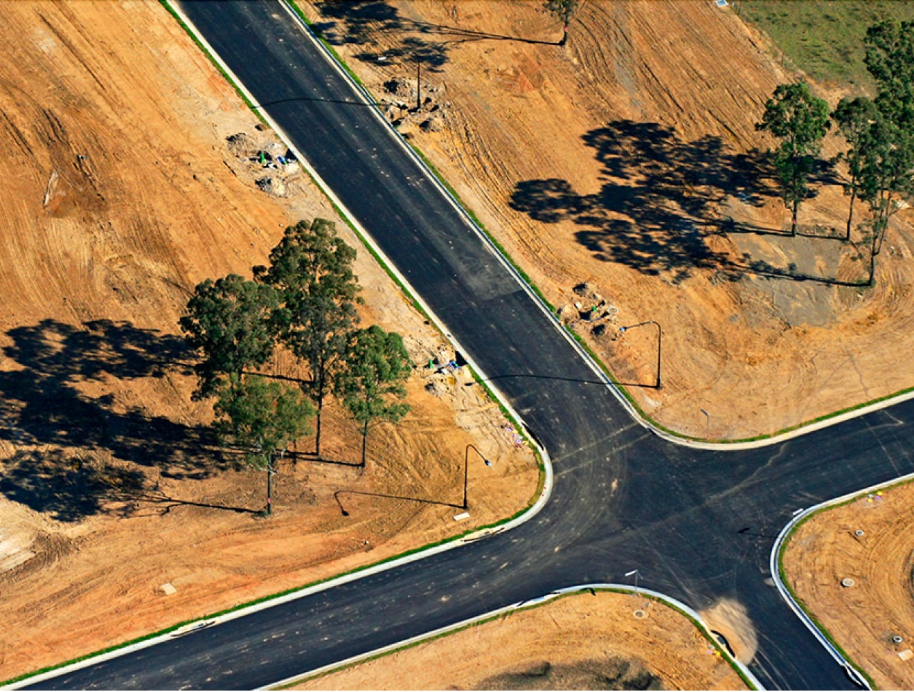
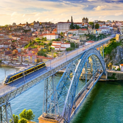
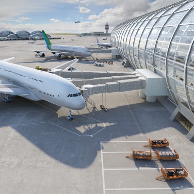
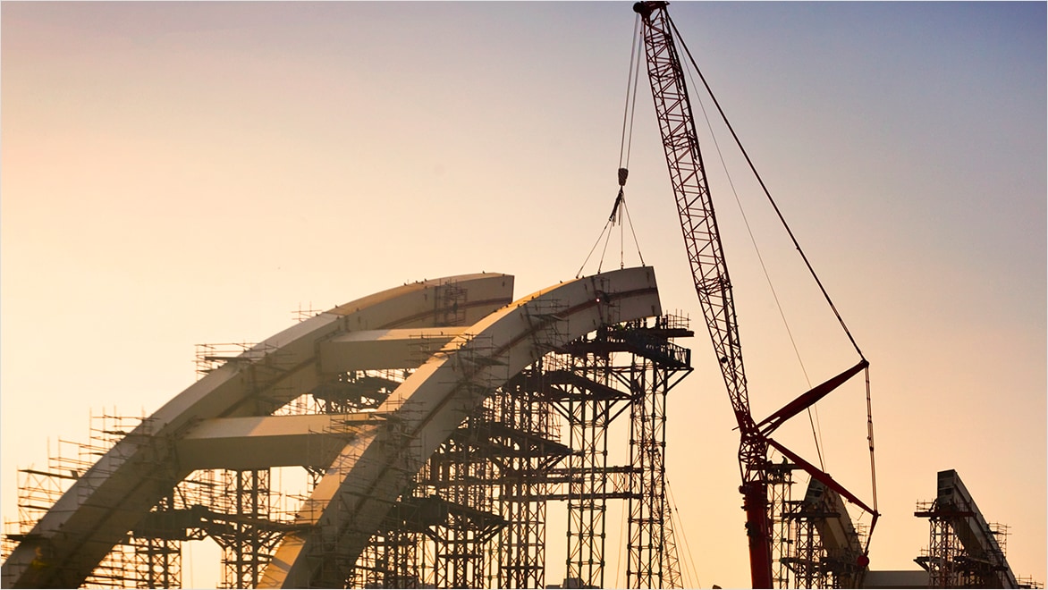
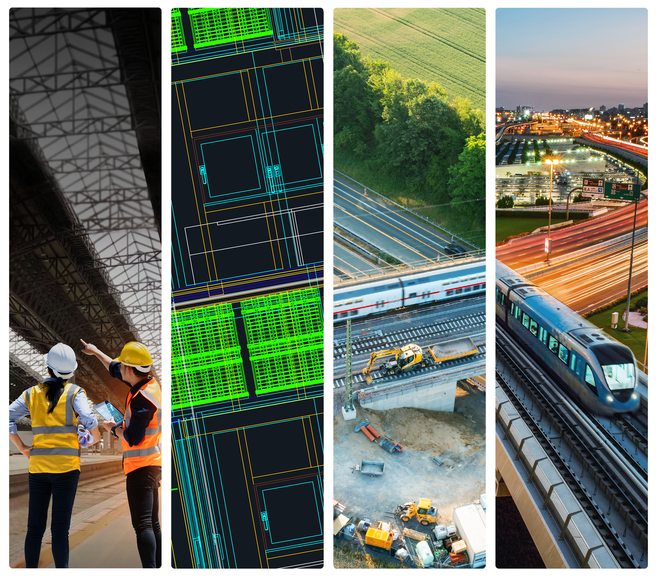
As the world faces climate uncertainty, increasing labor and resource costs, and rapid population growth, the need for resilient, future-ready transportation networks has never been greater. From roads and rail to bridges and tunnels, infrastructure must be designed not only for today's demands, but to adapt to the challenges of tomorrow.
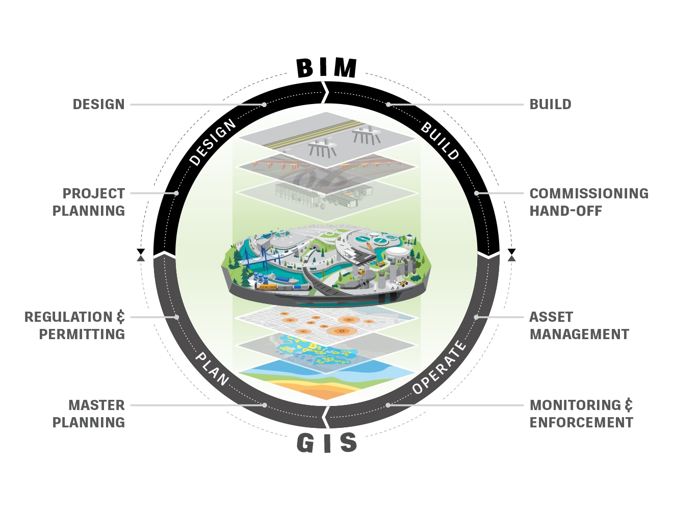
At Autodesk, we support transportation professionals with the tools to meet this challenge. Our integrated digital solutions help teams across disciplines plan, design, construct, and build infrastructure that can stand the test of time—while enabling smarter collaboration and improving efficiency.
Resilient infrastructure isn’t optional anymore—it’s a necessity. And Autodesk is here to help you build it.
of leaders at digitally mature companies feel prepared to handle unforeseen changes.
of digitally mature firms are using AI to enhance their sustainability efforts.
of business leaders say their organizations will increase their technology investments over the next three years.
of digitally mature civil engineering firms are using internal data to gain a competitive edge compared to 27% of less digitally mature firms.
Digital project delivery is a cloud-based collaboration process that connects your people, data, and workflows in a common data environment across the project lifecycle. Centralizing data gives stakeholders access to the right information, in the right format, when they need it—so you can achieve better quality results, boosted productivity, and on-time on-budget delivery.
Bridging design information with location intelligence provides infrastructure owners and their engineering service providers with a greater understanding of their built assets and natural environments. Our commitment to BIM & GIS interoperability streamlines the flow of project data, resulting in improved decision making, fewer costly errors, and enhanced collaboration and communication among project stakeholders.
As digital technologies reshape transportation, protecting sensitive data is essential to building public and stakeholder confidence. Across all the tools and offerings on our platform, Autodesk is committed to high standards for security, privacy, resiliency, and recoverability, so customers can trust their data is secure, protected, and resilient.
Transportation project teams often use multiple solutions from different vendors to provide models for maintenance and operations, leading to information loss during handover to owners. Autodesk prioritizes interoperability, allowing seamless data exchange across disciplines, products, vendors, and file formats. This is fueled by open standards like IFC, enhancing collaboration among all project stakeholders.
All transportation projects are faced with planning and designing around existing environments. Reality capture is a vital tool for the capture and assessment of an asset’s existing or as-built conditions. Utilizing advanced technologies, devices, and software like Autodesk’s ReCap Pro to gather detailed information on existing conditions provides an accurate, high-resolution, and up-to-date “digital twin” view of this environment. Combined with design information and geospatial data, the 3D digital view or “twin” is further enriched, establishing a comprehensive digital model of the asset within its real-world context.
Cloud-based design co-authoring, collaboration, and coordination software for architecture, engineering, and construction teams. “Pro” enables anytime, anywhere collaboration in Revit, Civil 3D, and AutoCAD Plant 3D.
Powerful BIM and CAD tools for designers, engineers, and contractors, including Revit, AutoCAD, Civil 3D, Autodesk Forma, and more
Discover how the TELT consortium is using BIM and digital collaboration to drive efficiency and innovation on the cross-border Mont Cenis Base Tunnel—one of the most ambitious rail projects in Europe.
Ahead of a major road redevelopment project in Genoa, Italy, developers used Autodesk to recreate a fully navigable and immersive digital reality model of the location, including its buildings and underground utilities.
Civil engineering and construction specialists, VolkerWessels, are using Autodesk’s BIM and geographic information systems (GIS) integration to unlock innovations and enhance project delivery.
Manage design and project complexities with improved communication and cloud collaboration on a single source of truth to improve efficiency.
Collaborative and connected workflows enabled by a common data environment give every stakeholder access to aggregated models and centralized data at every stage.
Reduce the number of field change requests, rework, and time to delivery while improving model accuracy and team productivity.
Meet BIM mandates and contract requirement, stand out from the competition, and win government infrastructure projects.
INFOGRAPHIC
Learn how Building Information Modeling (BIM) can support digital transformation efforts across the architecture, engineering, and construction industry.
ARTICLE
Discover four best practices Departments of Transportation (DOTs) can use to move toward digital transformation and increase efficiency.
E-BOOK
Explore how architecture, engineering, and construction projects can benefit from the power of BIM and GIS.
ARTICLE
Discover how, with connected digital railway technologies, rail systems can better achieve sustainable transport and shipping.
ARTICLE
See how augmented reality (AR), virtual reality (VR), GIS, and automation are enhancing railroad projects in Scandinavia.
ARTICLE
Find out how new technologies and perspectives can help prevent and manage cyberattacks on critical infrastructure.
ROADMAP
Discover how we're enhancing tools like Civil 3D and InfraWorks to help you design with greater precision, collaborate more efficiently, and achieve better outcomes faster in our latest roadmap update.
ARTICLE
To address both plastic pollution and climate change, one Dutch startup is creating future-ready, recycled plastic roads.
From planning to handover, get support for each stage of your road or highway project.
Deliver best-in-class, resilient rail infrastructure with reduced complexity and increased quality.
See how Autodesk solutions can enhance the resilience of your airport and port designs.
Transportation engineering is an area of civil engineering that involves the planning, design, construction, and maintenance of transportation systems for both public and private use. Transportation systems get people and goods from A to B and include road and highways, rail, and bridges and tunnels. Airports, oil pipelines, and traffic control systems also come under the transport engineering umbrella.
Public transportation owners, such as state DOTs, local municipal governments, rail owners and operators, and airport agencies, use transportation engineering software to determine existing conditions and evaluate maintenance operations and expansion needs. Engineering service providers and general contractors also use transportation design software to work out efficient designs and construction methods for implementing the design intent for their transportation assets.
Autodesk’s AEC Collection and Autodesk Construction Cloud are ideal solutions for virtually any transportation project. The platforms within the AEC collection help ESPs and owners design, review, and manage transportation projects through the planning, designing, building, and operational phases.
The Autodesk Construction Cloud acts as a central storage location for design files, project criteria, meeting summaries, design reviews, comments, and issue tracking, as well as many other critical project documents.
Design automation, digital project delivery, and AI all are influencing the transportation engineering industry.
Design automation is helping owners and engineers save time by processing design routines faster and more efficiently. Dynamo for Civil 3D and Revit help automate time-consuming or complex tasks in a fraction of the time and with greater accuracy.
Digital project delivery involves creating intelligent models that can be used in maintenance processes and act as a basis for future projects. Owners can provide better services to the public when they have more knowledge about the public infrastructure. They can also communicate critical details to stakeholders and designers via digital models and the associated details.
AI is quickly becoming part of a system that helps improve the quality of infrastructure while allowing owners and stakeholders to communicate and collaborate in real-time about infrastructure conditions and dynamics.
Smart transportation engineering software solutions allow owners and operators to evaluate systems to determine if they are working effectively. They can also assess problematic areas and establish reasonable solutions to improve overall public infrastructure.
The Autodesk AEC Collection accommodates third-party applications. Some third-party software has the ability to determine the carbon impact of materials and usage of transportation infrastructure.
Infrastructure models, such as those created in the Autodesk AEC Collection, are based on existing condition details. These models contain geometric features and valuable metadata such as material types, quantities, and installation records. This information can be readily used by smart transportation systems.